Contains over 350 modules to render maps and images on monitor and paper.
Provides a continously growing number of capabilities provided by core functions
It helps you to explore how plates move on the surface of the earth.
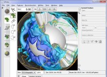 Main window
  Main Window
  Main Window
 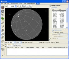 Main window


